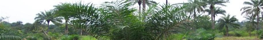
Thanks to GoogleMaps and satellite technology, you can now view each of the farms from the sky. If you zoom in on some of the farms, you can actually see the trees laid out in rows. On other farms, you can see the rows that have been cleared, though the trees themselves can't be made out. These pictures seem to be from early 2007.
Some GPS-generated maps may serve to give some perspective to the satellite photos. Here is a map that includes the relative locations of all the farms, along with the major roads and cities.
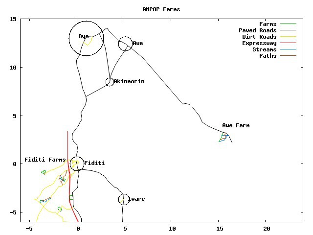
This is a large satellite view in which Fiditi can be seen near the expressway on the lower left side of the photo, and the Awe Farm is near the right edge. Zoomed in views follow below.
Zooming in on the Awe farm, the GPS map and corresponding satellite photo are next:
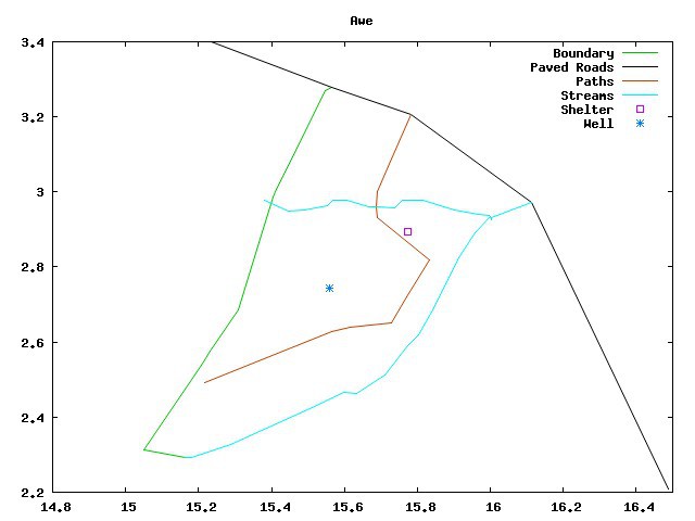
Awe farm
Shifting the view to the west, the GPS map lays out the four Fiditi area farms' relative locations. A zoomed in GPS map of each farm is then in each case followed by the corresponding satellite photo.

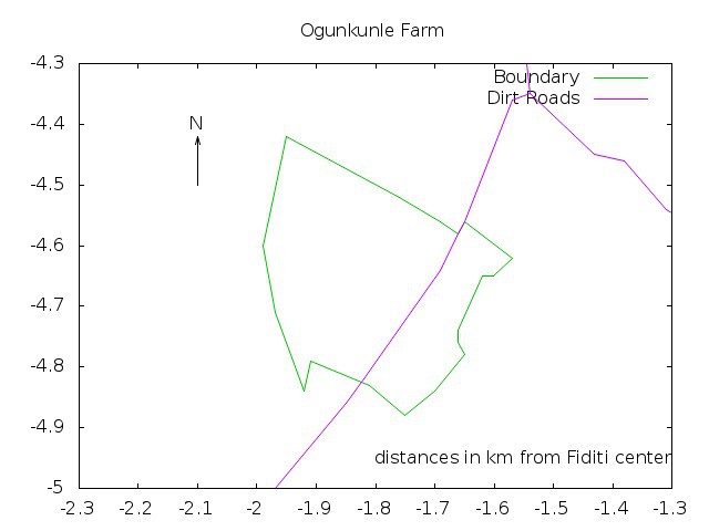
Ogunkunle farm (This map was updated in Feb 2014 to reflect actual boundaries of designated land. The previous boundaries matched more closely the satellite photos, as they represented where our tees had been planted. But we have now started using some of the additional land at the edges for plantain and other crops.)
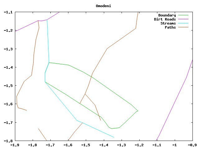
Omodeni farm
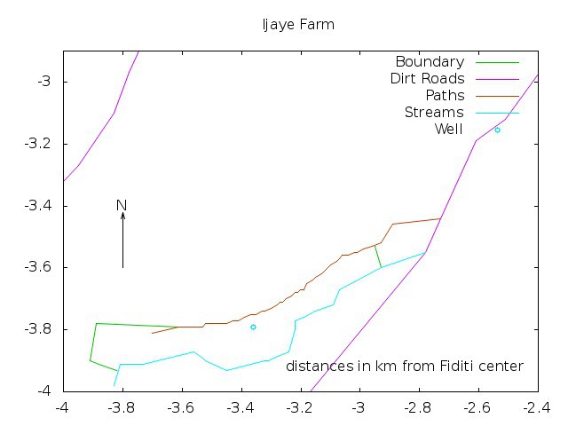
Ijaye farm (Updated in Feb 2014 to correct an error at the southwestern corner of the land.)

Olaoke farm